Coast
19 760 acres sea + 12 461 acres land
8 000 has sea + 5 045 has land
from 0 up to 1191 ft
from 0 up to 363 mt
2008
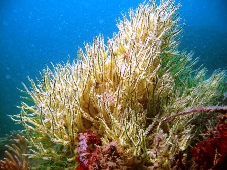
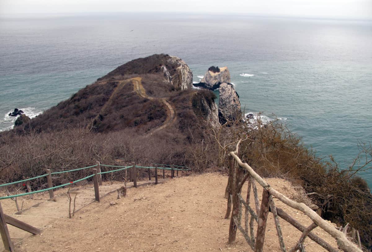
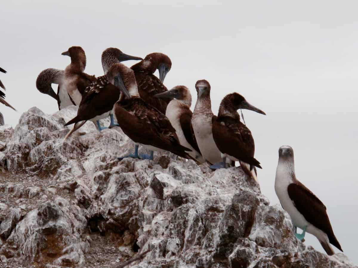
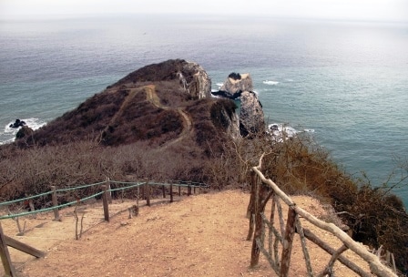
This protected area is named after the Pacoche hills, located on the San Lorenzo promontory south of Manta, the most outstanding point of the Manabi province. These small altitudes do not exceed 363 meters, but the location (in the coastal transition area of dry and moist environments) generates ideal conditions to protect dry and slightly more humid forests called garua forests.
The reserve protects 5,045 hectares of terrestrial ecosystems and 8,500 hectares of coastal ecosystems, an ideal combination of land and sea. The protected area borders several cities on the coast: San Lorenzo, Rio Cañas, Las Piñas y Santa Rosa. In the most influential areas are the towns of Pile, Santa Marianita and Liquiqui on the coast, while further inland you have the towns of El Aromo and Pacoche. The sites of La Solita and Agua Fria are located in the protected area.
Chat via WhatsApp