
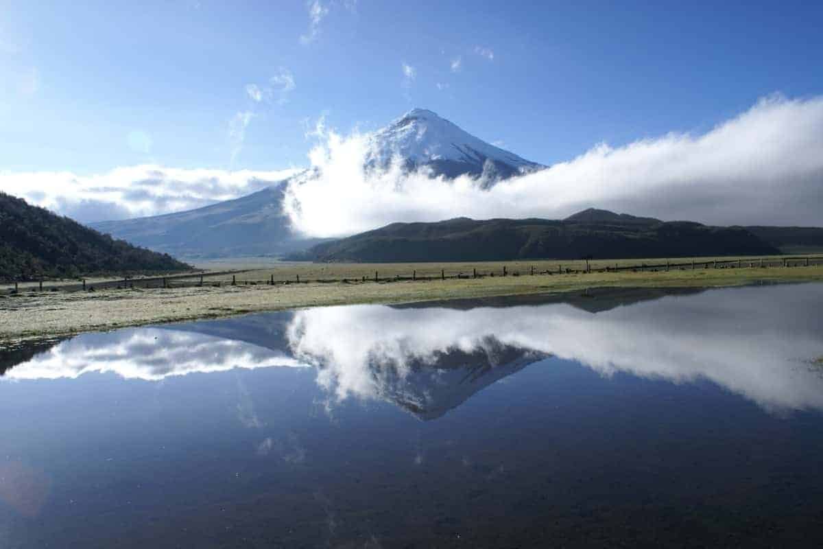
South America in a nutshell
In an area half the size of France lie three completely different worlds: the coast, the Andes and the Amazon rainforest.
Choose your world
Where the equator crosses the Andes, between Colombia and Peru, lies a small country with three climate zones. Each has its own flora and fauna, its own people and cultures. Click a zone on the map or in the list.
schematic map · Galápagos lies 1,000 km further west
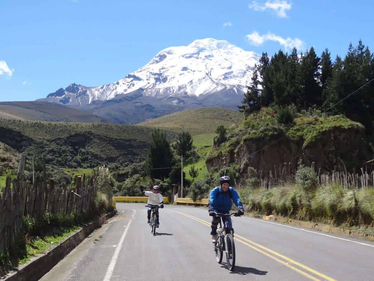
The Andes
Two mountain ranges with volcanoes up to 6,263 m, colonial cities, markets and cloud forest. Along the Panamericana you travel from north to south.
Otavalo · Quito · Cotopaxi · Baños · Chimborazo · Cuenca
Discover the Andes →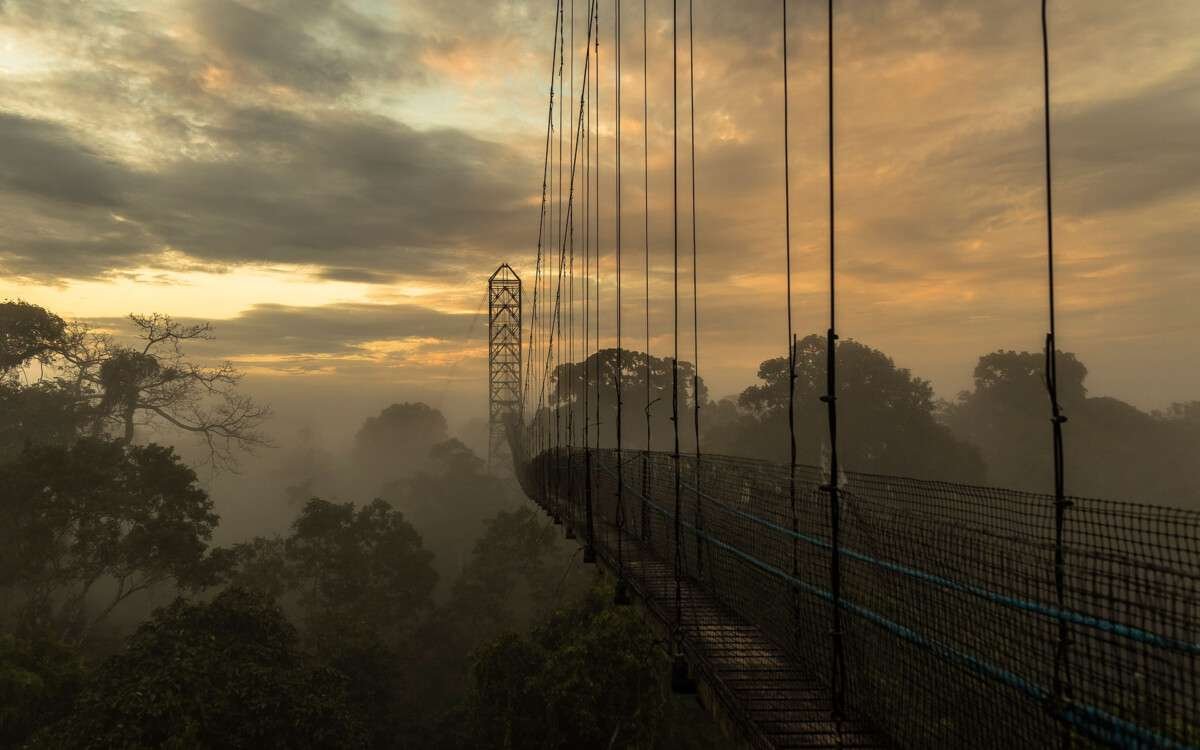
The Amazon
Rainforest, rivers and lodges. The upper part is reached by car, the lower part by plane and canoe, inside the national parks.
Upper Amazon · Lower Amazon · Yasuní · Cuyabeno
Discover the Amazon →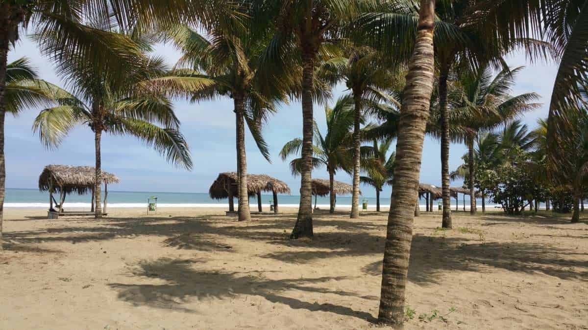
The Coast
Beaches, whales and mangroves on the Pacific, with Guayaquil as the gateway to Galápagos.
Puerto López · Machalilla · Guayaquil
Discover the Coast →The three zones side by side
A classic trip combines the Andes with a few days in the Amazon or on the coast. Add Galápagos and you have seen it all.
| Coast | Andes | Amazon | |
|---|---|---|---|
| Altitude | 0 to 500 m | 1,200 to 6,263 m | 200 to 1,000 m |
| Climate | Warm, dry in the south. Rainy season January to April | Spring by day, cool at night. Changeable weather, no real winter | Warm and humid, rain all year |
| What you see | Whales, blue-footed boobies, mangroves, beaches | Volcanoes, markets, colonial cities, hummingbirds | Monkeys, parrots, caimans, pink river dolphins |
| Getting there | 3 hours by road from Guayaquil | Along the Panamericana, from Quito | Upper: 4 hours by road. Lower: flight to Coca + canoe |
| Days | 2 to 4 | 6 to 12 | 3 to 5 |
All about the mainland
Want to put together your own trip?
Choose your areas and we turn them into a workable route.